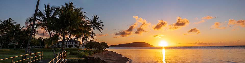
This is an aerial view looking across the Kahala area towards Honolulu. I found it in the collection from the Hawaii Statehood Commission that is part of the Hawaii State Archives Digital Collections. It is identified as having been taken around 1950.
As you can see, the area along the oceanfront, and Kahala Avenue, is already built up. Lots of homes are crowded in that strip of land. But the interior of Kahala is still pretty wide open, although I think some development was beginning around that time. The elementary school opened in the fall of 1954, so it had to at least be in the planning stages.
I’m still trying to identify landmarks, and figure out whether the streets that can be seen running down towards Kahala correspond to the streets that we know now.
Click to see a larger version.

Discover more from i L i n d
Subscribe to get the latest posts sent to your email.
Certainly pleasant to not see high rises.
Um, I’m wondering if there’s no unpleasant reaction to sprawl (other than mine, that is)?
FWIW the historical photos of Honolulu that show how long ago we sprawled out with low-density urban development makes me cringe.