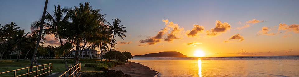
That’s my mother, Helen Yonge Lind, while we were on an excursion somewhere in Hawaii. I know not where. It looks like the mid-1950s.
I tried looking up highway or route 131 and 135, without success. Those signs should reveal the location, but so far I haven’t made progress.
Chime in if it rings any bells for you.

Discover more from i L i n d
Subscribe to get the latest posts sent to your email.
Ian… I found a 2010 reference to Highway 131 in Kalapana as being already cut off by lava (http://easyhikerhawaii.blogspot.com/2011/10/kalapana-lava-flow.html). This flow was ongoing. The Chain of Craters Road was Hwy 130, so 131 & 135 must have been spurs that are now completely buried by lava.
Hwy. 131 is. Kuakini Hwy., Kona.
Hi Ian, I did some research and your mom was actually on Oahu. Those signs were temporary federal routes used during WWII. Full info here:
http://www.hawaiihighways.com/FAQs-page3.htm#old-route-shields
Here’s a map with the numbered route network which shows 131 & 135 so you can generally guess where she was, based on the arrows in your photo:
http://www.hawaiihighways.com/1946-army-day-map.pdf